Drones become smarter for large agricultural holdings
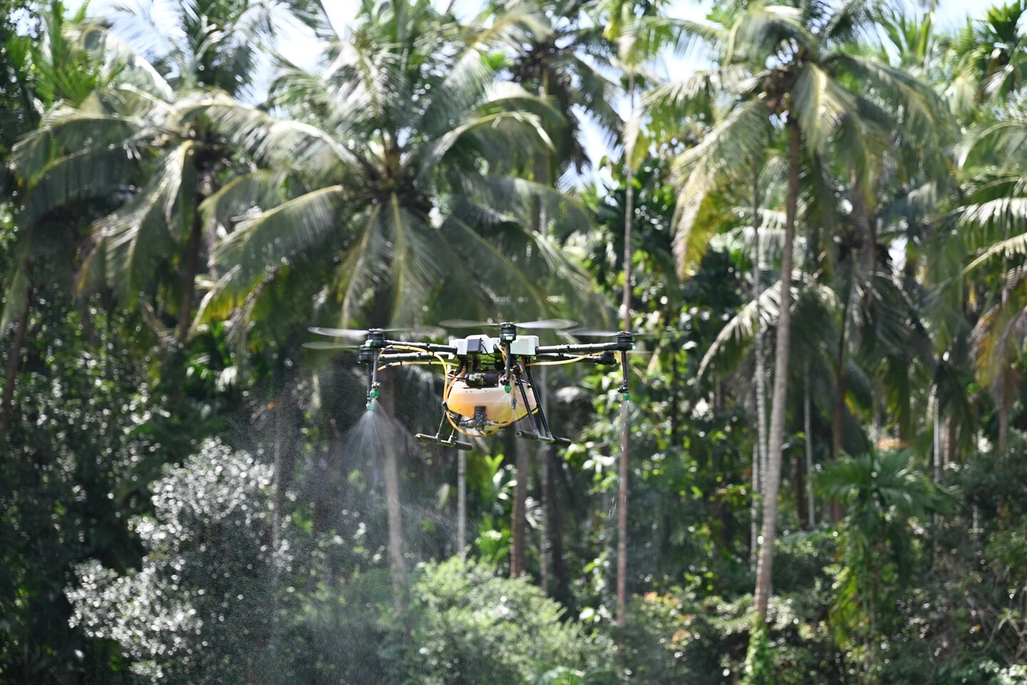
Singapore-based DroneDash Technologies and GEODNET have formed a joint venture called GEODASH Aerosystems to develop agricultural spraying drones for large industrial farms. The near-production drone technology is designed to eliminate the need to map fields before each flight and to rebuild flight plans when ground conditions change.
The drones will be capable of perceiving their surroundings during flight, adjusting their behavior in response to visual data, and undertaking crop spraying. Current agricultural spraying drones have been adapted from general-purpose models, requiring human operators to survey and map each field, generate a flight plan for each operation, and repeat the mapping process when conditions change.
The technology is aimed at being cost-effective for very large estates, especially palm oil plantations where crops are planted in rows. This necessary preparation and adjustment can limit the area a team can cover. GEODASH claims its platform removes the need for such preparatory stages.
The drone will combine DroneDash's AI vision system with GEODNET's positioning correction technology to achieve accuracy down to one centimeter. The drones will be able to interpret rows, trees, terrain, and operational zones while in the air, adjusting their altitude and spray rates as conditions vary.
The dividing line in smart robotics is whether machines can act in changing environments. Structured spaces, such as assembly lines and warehouses, present simpler operating parameters. However, in agriculture, real-time decisions need to be made autonomously. Agricultural land, particularly plantations with mixed-age crops and changing plant growth, means drones must recognize all relevant physical features and alter flight paths or treatment patterns according to unpredictable conditions.
GEODASH Aerosystems' proposed solution is not a fully unsupervised machine that can make its own decisions anywhere on a farm property, but it will be capable of operating without pre-existing maps within geo-fenced boundaries. It will also log each decision in case operators need to adjust to achieve the best results. The nature of agriculture is such that replanting, pruning, soil erosion, or a host of other changes can make static maps increasingly less accurate over time.
A platform that can be quickly redeployed after environmental changes could be more useful than one that is only as accurate as its last survey data. Each flight will feed data to DroneDash's AI Smart Farming backend, providing metrics on canopy density analysis, stresses and anomalies, plant health scores, spray-effectiveness checks, and terrain profiles. Each drone will thus serve a dual purpose: as a spray applicator and effectively as an aerial sensor platform.
The data gathered could be used by farm operators to inform them of the need to change dosages, alter treatment timings, flag the need for fertilization or pest control, and inform replanting schedules. GEODASH is initially targeting its technology at palm oil plantations in Southeast Asia, row-cropping operators in the US, and large estates in South America. The companies plan to launch commercial deployment of GEODASH Aerosystems in the third quarter of 2026.
US-China AI performance gap closes, but responsibility gap widens
The Future of Data Compression: From Pixels to DNA
Related articles
Antioch startup develops simulation tools for robotics
Antioch develops simulation tools for robots to bridge the gap between simulation and reality.
Cadence expands AI and robotic partnerships with Nvidia and Google Cloud
Cadence Design Systems announced new partnerships with Nvidia and Google Cloud to enhance robotics and chip design.
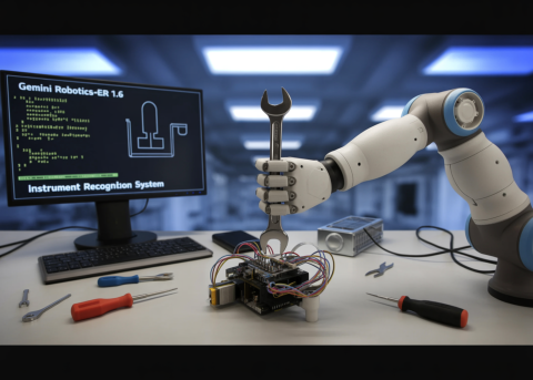
Google DeepMind Introduces Gemini Robotics-ER 1.6 with Enhanced Reasoning
Google DeepMind announces the update of Gemini Robotics-ER 1.6 with new features.